
The Orange County government has launched a new app that can pinpoint what is developing within its boundaries.
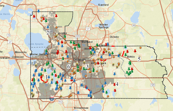
The new OCFL Atlas app is also a web application that gives access to real-time development data, board meetings, project locations and more. Users can zoom to their location, search by address or simply pan around the county.
The City of Orlando and Winter Park are blacked out from the map but you can see pockets of properties that belong to the county that still fall within our Bungalower coverage area.
Click HERE to use the map.