
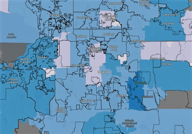
The Florida Department of Health has released a new interactive map on its special COVID-19 website that breaks down confirmed cases of the virus by ZIP code.
The map, which you can see below, has two tabs – one for counties and one for ZIP codes. Click on either to see the appropriate data.
At the time of this post, the data used for the addresses of the patients reflects either their home addresses or the hospital where they were admitted.
Click HERE to interact with the Florida Department of Health, Division of Disease Control and Health Protection’s COVID-19 Data and Surveillance Dashboard.