
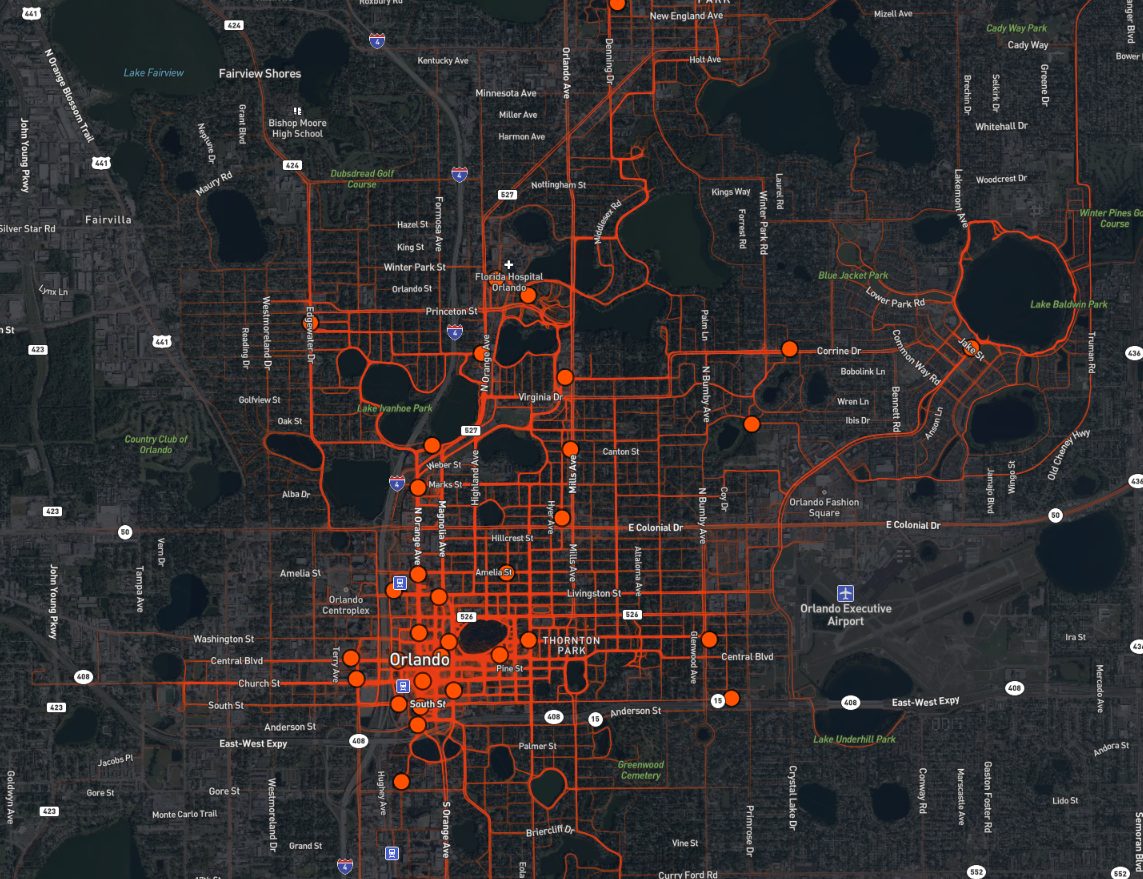
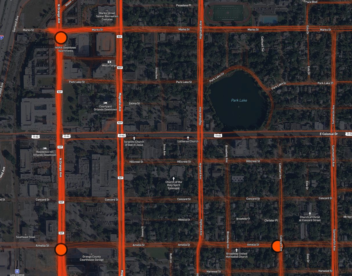
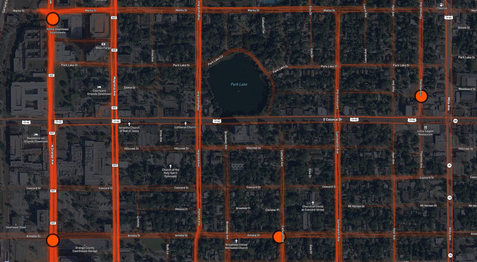
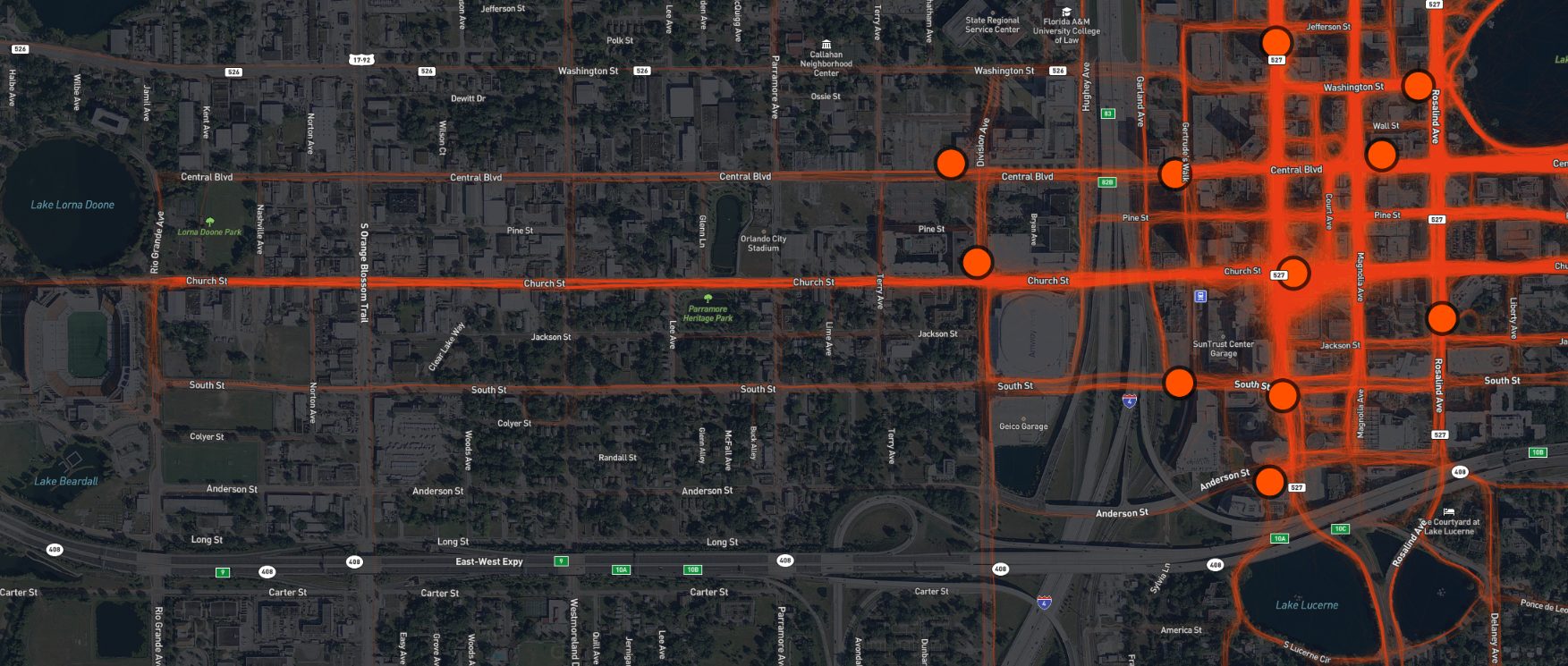
Orlando’s homegrown bikeshare program, Juice Bike Share (Website), has released an interactive map that reveals a line showing every ride a Juice Bike has been on since they started. Each ride taken is indicated with a faint orange line. The more dense and bright the color, the more rides have gone through that area.
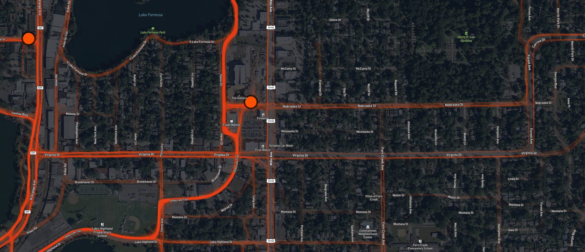
The data being collected via the bikes’ GPS units, is allowing the City of Orlando to identify streets in the City limits that need to be made safer for bike commuters. If you zoom in close enough, you can see where riders favored sidewalks rather than riding in the road with traffic. The most obvious example of that, from what we could see, was along Virginia Drive. According to Juice founder, Peter Martinez, his data is what led to sharrows being installed along streets like Magnolia Avenue, with more sharrow routes coming soon.
According to Juice Bikes, Orlandoans have taken over 42,000 unique trips via Juice Bikes, with over 75,210 miles logged.
To use the interactive map for yourself, click HERE, or scroll down to see some of our screen captures.
Cool. They put out a map of all my trips
So many people ride the bikes around Lake Eola. There is a demand!
Data! Maps! Two of my favorite things 🙂
Hopefully the city can use this information to help improve bicycle safety in Orlando.